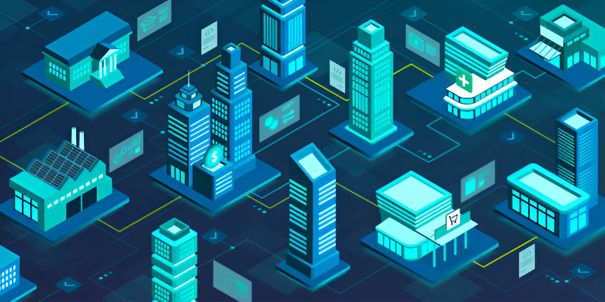
Urban Planning with Geospatial Apps is a complex task that involves creating well-organized cities and communities. For many years, architects and urban planners have worked with maps and blueprints to design new buildings, roads, and public spaces. But with the advancement of technology, a new tool is changing how urban planning works: geospatial apps. These apps use real-time data and mapping technology to help architects and planners create better, smarter cities. In this article, we’ll explore how geospatial apps are improving urban planning and why they’re a game-changer for architects.
What Are Geospatial Apps?
Geospatial apps are mobile or computer applications that use geographic data to create maps, analyze locations, and help users understand space and distances. These apps use information from sources like satellites, GPS, and sensors to gather data about the physical world. In urban planning, this data is crucial because it allows architects and city planners to visualize and understand how a city or area is used, and how it could be improved.
For example, a geospatial app can show a map of a city, highlight areas with heavy traffic, and give planners information about the locations of schools, hospitals, or parks. This helps architects make smarter decisions when designing buildings or developing new areas of a city.
How Do Geospatial Apps Help in Urban Planning?
- Mapping and Visualization
One of the biggest advantages of geospatial apps is the ability to create detailed maps and visualizations. Architects and urban planners can use these tools to create 3D models of buildings, streets, and neighborhoods. These models help planners understand how the city will look in the future. Geospatial apps also allow for the integration of data like population density, weather patterns, and public transportation routes, making it easier to design spaces that meet the needs of the community. - Analyzing Traffic and Movement
Geospatial apps are excellent for analyzing traffic patterns and the movement of people throughout the city. By using real-time data from GPS and sensors, these apps can track how people move from one place to another. This information is valuable for architects when planning roads, transportation networks, or public spaces. For example, if an area is known for heavy traffic, architects can design roads or transit systems that reduce congestion and make the city more efficient. - Environmental Impact Assessment
When designing new buildings or developments, architects need to consider the environment. Geospatial apps provide information about the natural landscape, including things like air quality, water sources, and green spaces. By using this data, architects can make decisions that minimize the environmental impact of their projects. For example, a geospatial app can help determine the best locations for parks or energy-efficient buildings that will help the city become more sustainable. - Better Decision-Making and Planning
Urban planning is all about making decisions that benefit the community. Geospatial apps help architects and planners gather all the data they need in one place. This makes it easier to compare different options and choose the best one. For example, if an architect is designing a new neighborhood, they can use geospatial apps to analyze factors like traffic, the availability of public services, and how the new area will fit into the existing city. This data-driven approach leads to more effective and thoughtful urban planning. - Collaboration and Communication
Geospatial apps also help architects and urban planners communicate and collaborate more easily. Since these apps use digital maps and models, planners can share their ideas with other team members, city officials, and the public. This makes it easier for everyone to understand the plans and give feedback. For example, if a city is planning to build a new park, using geospatial apps allows people to see exactly where it will be and how it will fit into the rest of the city.
The Benefits of Geospatial Apps in Urban Planning
Geospatial apps offer many benefits for architects and urban planners, including:
- Efficiency: These apps save time by providing accurate data in real time. Architects don’t have to spend hours manually collecting information or creating models. The app does it for them, allowing them to focus on designing better buildings.
- Accuracy: Since geospatial apps rely on data from satellites and sensors, the information they provide is highly accurate. This means that architects and planners can make better decisions based on real-world data.
- Sustainability: By using data on the environment and energy use, geospatial apps help architects design buildings and cities that are more sustainable and energy-efficient.
- Cost Savings: By using these apps to plan and design, architects can avoid costly mistakes. For example, they can identify potential traffic problems or environmental issues before construction begins, saving both time and money.
The Future of Geospatial Apps in Urban Planning
The use of geospatial apps in urban planning is still growing, and as technology continues to advance, these tools will only become more powerful. In the future, we can expect even more accurate data, better 3D models, and enhanced tools for analyzing traffic and environmental factors. As cities continue to grow, geospatial apps will play a key role in helping architects and urban planners create spaces that are smarter, more efficient, and better for the environment.
Conclusion
Geospatial apps are revolutionizing urban planning and architecture by providing architects and city planners with accurate, real-time data. These apps help with mapping, traffic analysis, environmental assessment, and decision-making. By using these tools, architects can create better, more sustainable cities that are designed to meet the needs of the community. As technology continues to improve, the role of geospatial apps in urban planning will only continue to grow, helping to shape the cities of the future.


